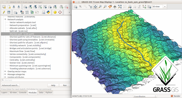
GRASS (Geographic Resources Analysis Support System) is a free and open source Geographic Information System (GIS) software suite used for geospatial data management and analysis, image processing, graphics and map production, spatial modeling, and 3D visualization. GRASS GIS is currently used in academic and commercial settings around the world, as well as by many governmental agencies and environmental consulting companies. GRASS GIS can be used either as a stand-alone application or as backend for other software packages such as QGIS and R geostatistics. It is a founding member of the Open Source Geospatial Foundation (OSGeo).
Post Top Ad
Your Ad Spot
Friday, September 14, 2018
Download GRASS GIS 7.4.1
Tags
gis#

Share This
About geographie physique
gis
Labels:
gis
Subscribe to:
Post Comments (Atom)
Post Top Ad
Your Ad Spot
Author Details
I am a GIS analyst both for basics and the Advance , I'm into GIS for Geoscience fields, Urban & Regional planning, Transport Management, Surveying, Mining, Environmental Science, Meteorology, Health etc.


No comments:
Post a Comment